
GIS Coordinator
jbrady@yumacountyco.gov
Yuma County GIS
310 Ash, Suite J
Wray, CO 80758
Mon. – Fri. 8:30 a.m. – 4:30 p.m.
Phone: 970-332-0930
Fax: 970-332-3411
Geographic Information System (GIS) services are provided by our GIS/Map/Printing Services department, which specializes in creating and maintaining essential mapping resources for Land Use planning and the Office of Emergency Management.
Available Services
- Map management for county operations
- Existing map reproduction and printing
- Large-format printing services using our state-of-the-art HP DesignJet 4200 printer
Special Maps that we can print are shown below: The Sunday Afternoon driving series.
Contact the GIS/Map/Printing Services department for assistance at (970) 332-0930.
Yuma County GIS Printing Services
For printing needs, contact the Land Use/GIS office at 970-332-0930.
| Size of Copy | Price of Scan | Price of Print | Price of Mylar Print |
| 8.5″ x 11″ | $2.00 | $3.00 | n/a |
| 8.5″ x 14″ | $2.00 | $4.00 | n/a |
| 11″ x 17″ | $2.00 | $6.00 | $6.00 |
| 17″ x 22″ | $4.00 | $6.00 | $10.00 |
| 18″ x 24″ | $4.00 | $6.00 | $12.00 |
| 24″ x 36″ | $5.00 | $7.00 | $15.00 |
| 28″ x 40″ | $5.00 | $7.00 | $15.00 |
| 36″ x 36″ | $5.00 | $8.00 | $15.00 |
| 36″ x 48″ | $5.00 | $10.00 | $20.00 |
Yuma County Print Services can print most files, and custom sizes. Custom sizes will be charged the price of the closest square footage size above.
Sunday Afternoon Drive Series
| YC Road Maps | 18″ x 27″ | $6.00 | + shipping |
| UC Irrigated (old) | 18″ x 27″ | $6.00 | + shipping |
| YC Gas Well (old) | 18″ x 27″ | $6.00 | + shipping |
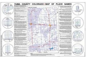
| UC Map of Place Names | 24″ x 36″ | $7.00 | + shipping |
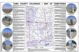
| YC Cemeteries | 24″ x 36″ | $7.00 | + shipping |
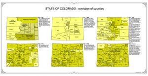
| UC Evolution | 17″ x 33″ | $7.00 | + shipping |
| YC Ownership Map | 36″ x 48″ | $30.00 | + shipping |
You can email requests to landuse@yumacountyco.gov.
Let’s put Alfred, our new HP DesignJet Plotter to use!
Shapefiles Available For Sale
The Yuma County Assessor’s Office maintains comprehensive geographic and property data through our partnership with a third-party GIS vendor, ensuring accurate and up-to-date county mapping information and assessor database management.
The GIS Department can offer some shapefiles that can be imported into other GIS programs. The following layers are Address centerlines, Address points, Municipal boundaries, Parcels, PLSS Sections, PLSS Townships, Railroads, Subpoly, Voting precincts.
The cost of the Yuma County GIS shapefiles are $70 each, which includes the whole county.
Cost of Maps are being revised.
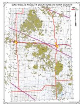
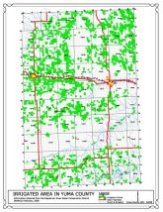
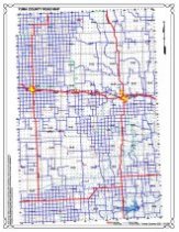
THE SUNDAY AFTERNOON DRIVE SERIES, 24” X 36” format includes the Yuma County Colorado Map of Place Names and Yuma County Colorado Map of Cemeteries. These maps cost $6.00 each, plus shipping.
STATE OF COLORADO Evolution of Counties, 17” X 33”, $6.00 plus shipping.
How to Order
Contact Information:
- Phone: (970) 332-0930 Email: jbrady@yumacountyco.gov
Payment Options:
- Check: Checks should be made out to “Yuma County Treasurer” and sent to:
YC GIS
310 Ash, Suite J
Wray, CO 80758 - Credit Card: Pay Now
- Deliver Check in Person: Suite J in basement of Court House